Author: marcuscengland
-
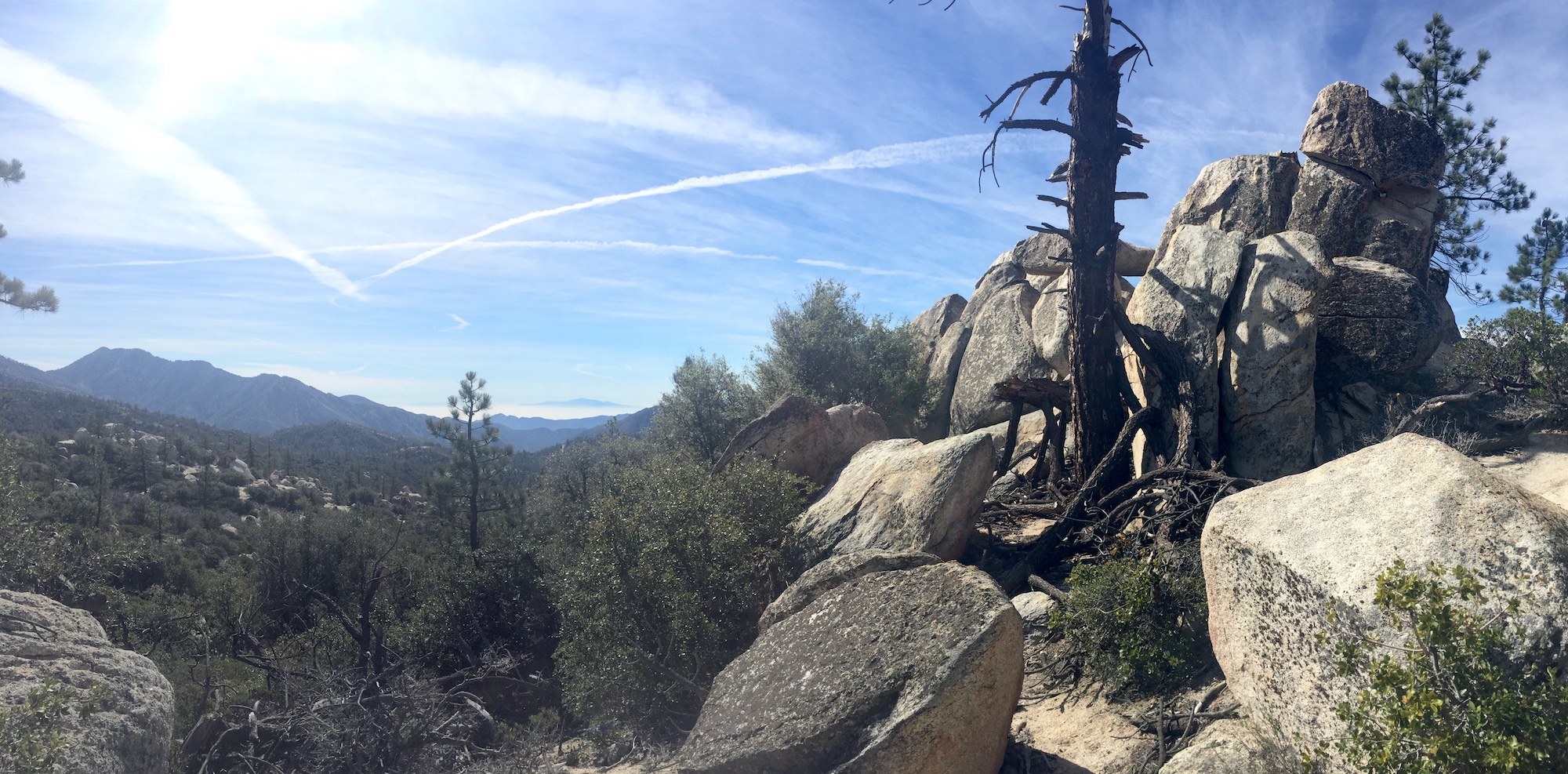
Islip Ridge, Little Jimmy, and Windy Gap

I decided yesterday was a good day to traverse some trails I hadn’t done before, so I grabbed my Angeles High Country map and drove up Highway 39. I sought out a trail the map labeled as the “Islip-Wiwona Trail”. There were no signs where the trailhead should be. The area was overgrown with a…
-
Raptors in Flight

In response to a question about hawk identification on nextdoor.com (a neighborhood-based social media site), I posted a long discussion about the status of various raptors in our neighborhood. Someone posted a follow-up question about how to tell hawks from falcons in flight. I thought the easiest way to do that would be to post…
-
My Big Day

[Featured image: An Ash-throated Flycatcher was species 75 for the day.] It was just two weeks ago that I ran 26 miles in 90-something degree heat in the hills around Bouquet Reservoir in the Angeles National Forest. While that may sound laudable (or crazy), it was because I was running the Leona Divide 50 trail race,…
-
Evolution, Ecology, and Organismal Biology

A friend and fellow ultrarunner covered me in her series on artists who are also athletes.
-
Running Charlton Flats to Three Points
My first run of greater than twenty miles in length since the HURT 100 hurt way more than I’d like it to. The plan was to run the Angeles Crest 100 route from Charlton Flats to Three Points and back. Things didn’t entirely go as planned. Despite the ultimate treachery of this run, I was…
-
The Cross Town Loop

This 13 mile loop route with 2,854 feet of gain barely qualified for the San Gabriel Trails Project. It does, however, include several miles of trail that are, indeed, within the San Gabriel Mountains. Those several miles of the Cross Town Trail in La Cañada’s trail system are what this loop is named after. The…
-
Hawaii: History, Honeycreepers, and the HURT 100 – Part 2

For part 1 of this trip and race report, see here. Two days before the race, we took a trip to Pearl Harbor to visit the USS Arizona Memorial. While Google Maps did a good job of getting us temporarily lost on Honolulu’s confusing roads, we still arrived early and only had to wait a…
-
Hawaii: History, Honeycreepers, and the HURT 100 – Part 1
We look out over the vast Pacific that forms our temporary backyard and watch the sun set as large waves break on the volcanic rock in front of us and Brown Boobies fly northward just offshore. This is our first of ten nights on the island of Oahu. It’s my first time in the state…
-
The Year That Was, The Year That Will Be

Two days short of one year ago, I wrote a post about my goals for 2016. As often happens, life takes unexpected twists and turns, sometimes rendering goals difficult if not impossible to reach within the time period you planned for. For example, there was no way I could know that I would be out…
-
Land Use Changes in the Antelope Valley
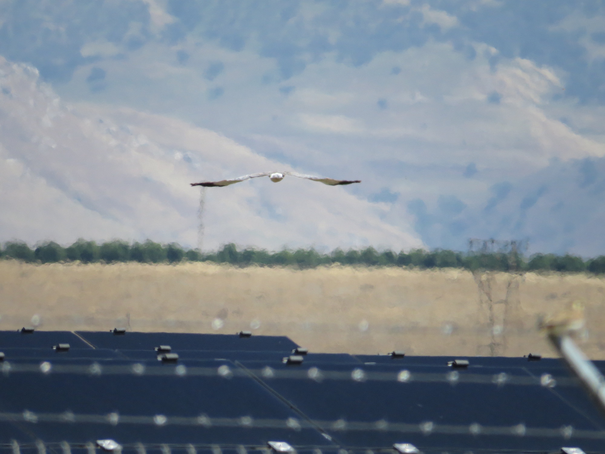
[Featured image: A Northern Harrier flies over a solar farm outside of Bakersfield, California in May 2016] Google Earth’s time feature allows you to easily take a look at how land use changes over time. I produced this video, without commentary, showing land use changes in the western Antelope Valley from 1985 – 2016.